


Vantor plans 24-satellite fleet to spot change on Earth every 15 minutes

4 min read
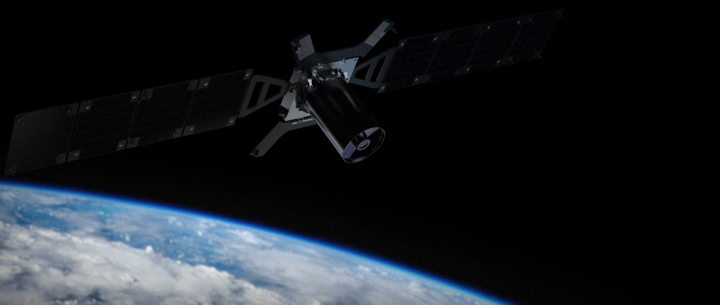
An aircraft can leave an airfield, a ship can sail from port or vehicles can arrive at and leave a military site before an imaging satellite returns for another look.
Vantor wants to reduce that gap to as little as 15 minutes. The 24-satellite Vantor Pulse fleet is being developed to repeatedly scan large areas of the Earth, detect where something has changed and then direct higher-resolution satellites to take a closer look.
Rather than relying on a single highly detailed image, the system is intended to build up a much more frequent picture of activity on the ground.
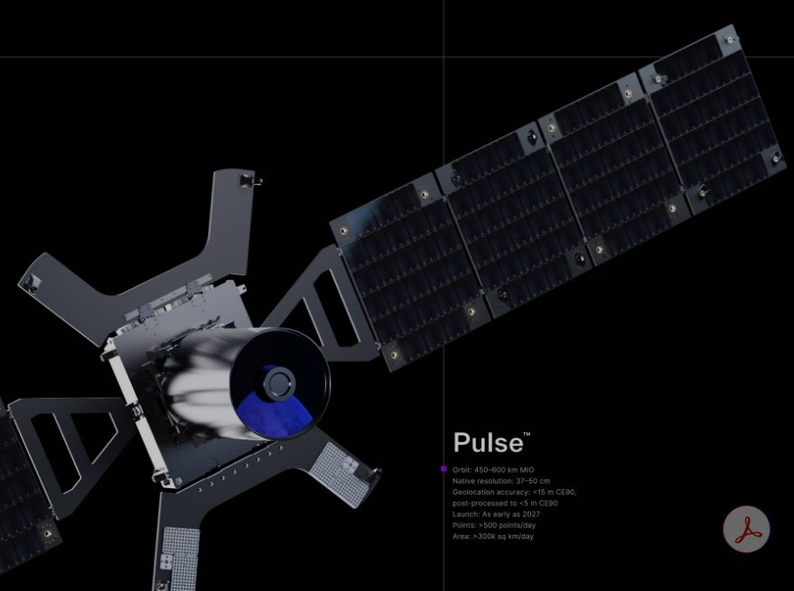
Vantor has now selected EnduroSat and CACI to develop and build the first Pulse satellites, moving the programme towards deployment between 2027 and 2029.
EnduroSat will provide the spacecraft buses and integration services, while CACI will supply the optical imaging payloads. Payload integration and testing will take place in the United States.
Why Vantor wants another look every 15 minutes
Satellite operators have traditionally had to balance how much detail a spacecraft can see against how frequently it can return to the same place.
Pulse approaches that problem by using a larger number of 40 cm-class satellites for frequent monitoring. Vantor says the fleet will be capable of imaging the same location as often as every 15 minutes, equivalent to four opportunities an hour when that maximum revisit rate is available.
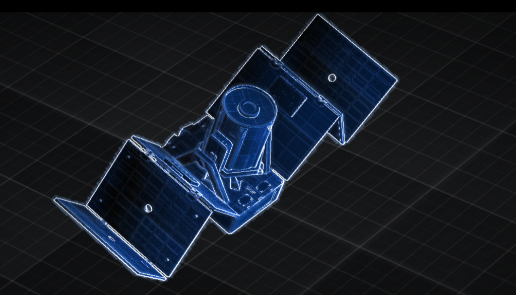
The shorter interval matters because a satellite image is a snapshot. A very high-resolution picture can provide considerable detail, but it only records what was present when the spacecraft looked down. If the next useful image is taken hours later, activity that began and ended during that gap may not appear in either picture.
More frequent observations make it possible to identify movement and changes sooner. Vantor lists site monitoring, change detection and rapid 3D mapping among the intended applications.
Its Pulse datasheet says high-frequency collection and rapid tasking are intended to reduce the time from detecting a signal to obtaining useful information from hours to minutes.
That is particularly relevant for time-sensitive intelligence. A change detected at an airfield, port or other site can trigger another collection while the activity is still taking place, rather than leaving analysts to discover it from imagery obtained much later.
Pulse finds the activity, another satellite can examine it
Vantor does not intend Pulse to work alone.
Once the fleet detects something of interest, it will be able to automatically cue Vantor’s higher-resolution satellites for follow-on imagery. In effect, Pulse provides the frequent watch, while another spacecraft can be sent to obtain greater detail.
“The key to Pulse is the systems engineering behind it,” said Matt Jenkins, Vantor’s chief space systems officer.
“We’re designing the fleet to support different sensor types over time and feed that data into Tensorglobe, where it can be brought together with AI and other data sources.”
Combined with Vantor’s higher-resolution spacecraft, Jenkins said the system would provide “both the persistence to see change and the detail to understand what matters.”

Pulse will operate alongside the company’s WorldView Legion satellites and Vantor Vantage, its next-generation 20 cm-class imaging satellites.
Vantor is therefore building different layers of observation rather than asking one type of spacecraft to provide both constant coverage and its highest-resolution imagery.
What the Pulse satellites can see and cover
The Pulse spacecraft are designed to operate between 500 and 600 km above Earth. Vantor gives them a native resolution of 37–50 cm, with post-processed geolocation accuracy of less than five metres CE90.
Each satellite is expected to handle more than 500 collection points a day and image more than 300,000 sq km daily. The spacecraft will carry eight multispectral bands and have a useful life exceeding five years.
Vantor says adding Pulse will increase the company’s global imaging capacity and revisit rates fivefold.
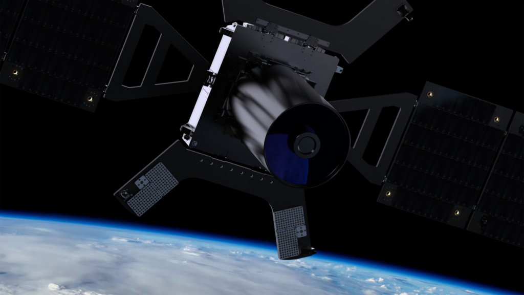
The fleet is also being designed so that all 24 spacecraft do not have to carry identical sensors. Its architecture can accommodate electro-optical and radio-frequency payloads, giving Vantor the option of adding different sensing capabilities as the constellation develops.
The company says configurations could also be adapted for US and allied customers seeking sovereign satellite capabilities.
Data from Pulse will feed into Vantor’s Tensorglobe spatial intelligence platform, where observations can be combined with AI, 3D information and higher-resolution imagery. Frequent passes give change-detection software a succession of recent observations to compare, helping it identify movement or anomalies and decide where another collection is needed.
EnduroSat, which has put more than 100 satellites into orbit, will supply standardised buses capable of accepting different payloads. CACI brings more than five decades of experience in space-based optical systems, according to the Vantor official.
“Vantor is eliminating the oldest tradeoff in Earth observation—resolution or revisit, never both,” EnduroSat founder and CEO Raycho Raychev said.
The first Pulse satellites could reach orbit next year. If the full fleet is deployed as planned, Vantor will not simply have another set of cameras looking down at Earth. It will have a system designed to notice that something has changed, decide that it deserves another look and send a higher-resolution satellite back for more detail, potentially within minutes.
Andreas Nonnenmacher, CACI Senior Vice President of Space said, “Our collaboration with Vantor and EnduroSat enhances timely change detection and supports critical national security operations, reflecting CACI’s commitment to delivering innovative space technologies that meet evolving mission needs.”


