


Can satellites detect illicit crops from space? Kuva Space releases results of hyperspectral pilot study
2 min read
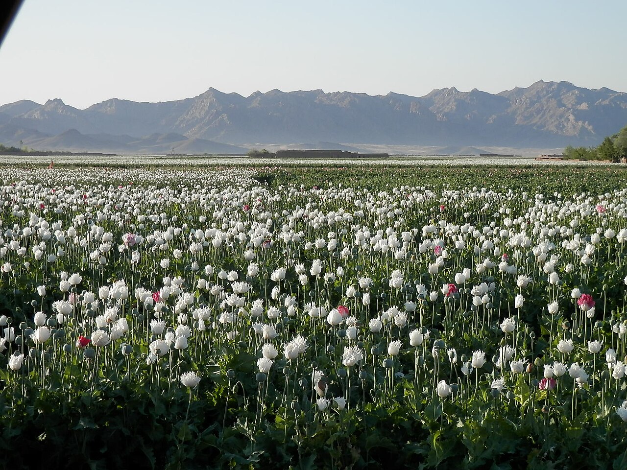
Finnish satellite Earth observation company Kuva Space has released the results of a pilot project exploring the detection of illicit crops at a regional scale over 648,450 km² and almost 250,000 fields. This was done through its Hyperfield-1 satellite, observing agricultural areas of Afghanistan to investigate opium production.
“Satellite monitoring has traditionally forced a trade-off between covering very large areas and seeing enough detail to identify what is actually growing there,” said Jarkko Antila, CEO of Kuva Space, in a statement.
“Hyperfield data and in-house AI-powered models start to close that gap. By detecting differences in vegetation that conventional imagery misses, we can screen entire regions and focus the most expensive analysis on a much smaller set of high-probability areas. That changes both the economics and the scalability of illicit crop monitoring.”
AI and hyperspectral imaging narrow search for potential poppy fields
The approach combined satellite monitoring with Kuva’s Sentinal-2 data and AI classification to analyse almost 248,889 fields identifying 8,835 as likely poppy fields that warranted examination.
The company reported a 75% overall accuracy for its combined approach, using an average geolocation accuracy of 21.75 meters, which is less than one Hyperfield pixel.
The method distinguished legal crops from poppy fields by measuring reflected light across narrow spectral bands, detecting differentiation in chlorophyll, water content, and pigmentation to draw conclusions, creating a partly automated screening layer.
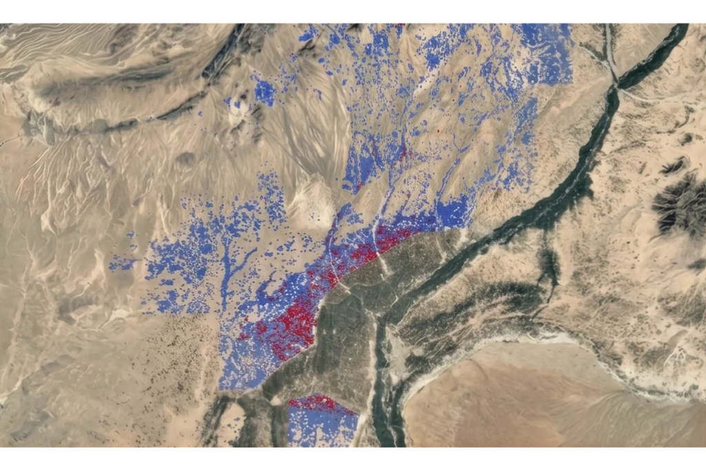
Responding to ADS Advance, Kuva clarified that the fields were identified for closer inspection but not actually verified as an orbital detection of the poppy plant, intended as a tool for authorities like the United Nations Office on Drugs and Crime (UNODC).
“To confirm whether the field is a poppy field, a centimeter-level accuracy aerial or on-site view is required, but that is not currently possible in a safe manner in Afghanistan,” Ollie Eliranta, Data Scientist at Kuva Space told Advance.
“The safety issue is one of the major reasons why we have done the study using spaceborne instruments.”
Afghanistan and Myanmar remain key focus areas for opium monitoring
For absolute recognition of the accuracy of identifying poppy plants from legal crops, the action of an enforcement body would have been required.
Kuva quotes the UN’s 2026 World Drug Report in characterising Afghanistan’s opium production to lie dramatically below pre-ban levels, while Myanmar increased 17% in 2025 to become the world’s largest opium producer.
Afghanistan’s precarious position suggests it could follow in the footsteps of other sanctioned or destabilised nations like Syria or those in South America, in flocking to black markets to create economic growth, though today there remains precious time to interrupt networks before they organise.
Kuva Space trained its foundation model on the entire Hyperfield data archive of 1.2 million image patches across a limited reference area before applying it to a larger region. Its method could be adapted to other regions where worries of rising opium production in an era of destabilizing economics and increasing sanctions activity are present.


